- How deep is Lake Norman?
- Lake Norman averages roughly 33 feet deep. Its deepest point sits near the Cowans Ford Dam at the southern end, where the old Catawba River channel runs about 110 feet below full pond. Depth falls off quickly: most residential coves run 6 to 20 feet, the main channel typically 40 to 80 feet, and the shallow northern arms above Marshall Steam Station often less than 10 feet.
- How big is Lake Norman?
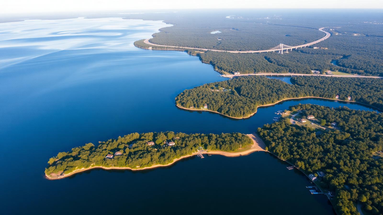
- Lake Norman covers about 32,510 acres — roughly 50 square miles — with approximately 520 miles of shoreline. It stretches about 33.6 miles from the Cowans Ford Dam north toward Statesville and reaches about 9 miles across at its widest. It is the largest man-made body of fresh water in North Carolina.
- Is Lake Norman man-made?
- Yes. Duke Power completed the Cowans Ford Dam in 1963, impounding the Catawba River to create Lake Norman as part of the Catawba-Wateree hydroelectric chain. The lake is named for Norman Atwater Cocke, a former Duke Power president. Farms, roads, and at least one small community lie beneath the water.
- Are there alligators in Lake Norman?
- No. Lake Norman sits in the North Carolina Piedmont, well north and west of the state's resident alligator range, which is confined to the coastal plain. Wildlife you will actually encounter includes largemouth and striped bass, catfish, beaver, osprey, great blue heron, and bald eagles.
- Can you swim in Lake Norman?
- Yes. Swimming is common from mid-May through mid-October, when surface temperatures hold above 70°F and peak near 87°F in July and August. The guarded public beach at Lake Norman State Park is the main designated swim area; most other swimming happens from private docks and anchored boats. Standard reservoir precautions apply — no swimming near operating docks with power, and observe electrical safety around lifts and shore power.
- How clean is Lake Norman?
- Lake Norman generally meets state water quality standards for recreation, and it also supplies drinking water to surrounding communities. Clarity varies seasonally and by location: the main channel runs clearer, the upper arms cloud after heavy rain, and fall turnover in November briefly reduces visibility lakewide.
- What is the water level of Lake Norman?
- Full pond is 760 feet above sea level. Duke Energy manages the level within a narrow band and typically holds a modest winter drawdown of about a foot; deeper drawdowns occur only in drought or for licensed shoreline work. Cove depth at your dock matters most in the shallow northern arms, where a two-foot swing is meaningful.
- Which towns are on Lake Norman?
- Cornelius, Davidson, Huntersville, and Mooresville anchor the eastern and southern shores; Denver and Sherrills Ford sit on the western shore in Lincoln and Catawba counties; Troutman and Statesville sit at the northern end in Iredell County. Charlotte is roughly 20 to 30 minutes south of the southern basin.
- Do you need a permit for a dock on Lake Norman?
- Yes. Duke Energy administers the shoreline under its FERC license and Shoreline Management Plan. Any new private dock, boat lift, dredging, riprap, or vegetation removal below the project boundary requires written Duke Energy authorization, and local jurisdictions and the Army Corps may have additional requirements.
- Is Lake Norman good for fishing?
- Yes. It supports one of the strongest inland striped bass fisheries in the Carolinas, plus largemouth and spotted bass, white perch, crappie, and blue and channel catfish. Winter concentrates stripers around the warm-water discharges; summer pushes them above the thermocline at roughly 18 to 28 feet.
- Can you live on Lake Norman year-round?
- Yes — the great majority of shoreline homes are primary residences, not seasonal cottages. The Piedmont climate keeps the lake ice-free, the surrounding towns are full-service year-round communities, and Charlotte's job market and airport are a short drive from most of the shoreline.
- How far is Lake Norman from Charlotte?
- The southern end of the lake is about 20 miles north of uptown Charlotte, typically 25 to 35 minutes via I-77 outside peak traffic. Charlotte Douglas International Airport is roughly 30 to 40 minutes from the Cornelius and Huntersville shoreline.