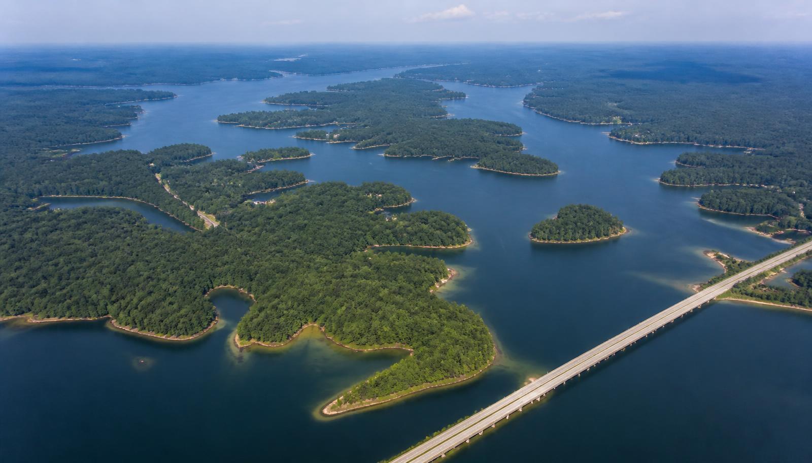
- How big is Lake Norman?
- Lake Norman covers roughly 32,510 acres — about 50 square miles — with approximately 520 miles of shoreline. It stretches around 34 miles from the Cowans Ford Dam in the south to the Lookout Shoals area in the north, and is up to nine miles wide at its broadest point.
- How deep is Lake Norman?
- The lake averages about 33 feet deep and reaches roughly 110 feet at its deepest point, near the Cowans Ford Dam. The old Catawba River channel is the deep water; the coves shallow quickly to 8 to 20 feet.
- What counties and towns surround Lake Norman?
- Four counties border the lake — Mecklenburg, Iredell, Lincoln, and Catawba. The principal towns are Cornelius, Davidson, and Huntersville on the southeast shore, Mooresville and Troutman to the northeast, and Denver and Sherrills Ford on the western shore.
- Which bridges cross Lake Norman?
- Three main crossings: the I-77 bridge between Cornelius and Mooresville, the NC 150 bridge between Mooresville and Terrell, and the NC 73 bridge between Huntersville and Denver over the Cowans Ford area.
- Where are the deepest coves on Lake Norman?
- The deep-water coves cluster in the southern basin near the main channel — Jetton, Beatties Ford, the Peninsula's fingers, and the Governors Island area — where the old riverbed swings close to shore and holds 20 to 40 feet at the dock.
- Is Lake Norman man-made?
- Yes. Duke Power impounded the Catawba River behind the Cowans Ford Dam between 1959 and 1964, flooding farmland, roadbeds, and several small communities. Full pond is 760 feet above sea level.