Reading Lake Norman's water level.

Lake Life

Reading Lake Norman's water level.

Full pond is 760 feet. Everything else — dock depth, ramp usability, which shoals bite, how a cove looks in October — is a conversation about how far below that number the lake is sitting this week.

Chapter 01

Full pond, and why the number matters.

Lake Norman is not a natural lake. It is the largest reservoir on the Catawba River, impounded by Cowans Ford Dam in 1963 and operated by Duke Energy under a federal license. Full pond — normal maximum operating level — is 760 feet above mean sea level. Locals almost never quote elevation; they say the lake is 'down two' or 'down four,' meaning feet below that mark. Duke publishes the reading daily, and it is the single most useful number for anyone planning a weekend on the water.

Chapter 02

What moves the level.

Four forces, layered. Rainfall in the upstream watershed above Lookout Shoals and Rhodhiss fills the system. Hydroelectric generation at Cowans Ford and thermal cooling demand at the Marshall and McGuire stations draw it down. Downstream flow obligations to the rest of the Catawba-Wateree chain keep water moving even in dry stretches. And evaporation across 32,000 acres of surface takes a real bite in a hot July. The result is a lake that breathes on a seasonal rhythm rather than sitting still.
  • Upstream watershed rainfall
  • Hydroelectric generation demand
  • Thermal plant cooling withdrawals
  • Downstream Catawba-Wateree flow requirements
  • Summer evaporation across 32,000 acres
  • Drought protocol stages in dry years

Chapter 03

The seasonal shape of a normal year.

Levels generally run highest from late winter into spring, when the watershed is wet and demand is low — February through May is when the lake looks fullest and the shallow coves are most forgiving. Through June, July, and August, heat and generation pull the level down gradually. September and October are typically the lowest stretch of the year, which is also when exposed shoals, old stumps, and long stretches of riprap reappear along the shoreline. Autumn rain and lower demand refill through winter.

Chapter 04

What each foot costs a boater.

A foot sounds trivial on a lake with a hundred-foot channel. It is not, because the hazards are all in the shallows. At two feet down, the marked shoals grow and the unmarked ones matter. At four feet down, the shallower public ramps run out of concrete before they run out of slope, shallow-set lifts leave hulls hanging, and the backs of creeks stop being navigable at plane. Re-learn shortcuts during a drawdown, run the depth finder rather than memory, and give any charted shallow several feet of margin.
  • Shoals widen and unmarked stumps surface
  • Shallow ramps lose usable concrete
  • Boat lifts may sit above working depth
  • Creek backs become idle-only or impassable
  • Prop damage claims rise every autumn
  • Check the daily reading before trailering

Chapter 05

Docks, permits, and shoreline management.

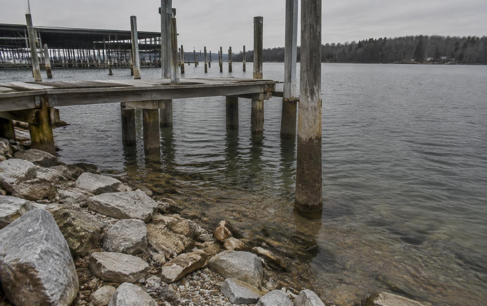
Duke Energy administers the shoreline under its Lake Norman Shoreline Management Plan, and water depth at the end of a dock is measured against full pond. That is why a dock permit application and a buyer's due diligence both start from the same question: how much water sits at the dock at 760, and how much remains at 756. Deep-water lots on the main channel hold access through nearly any ordinary drawdown; a pretty cove at the back of a creek can go from swimmable to mud in a dry October.

Chapter 06

What buyers should actually ask.

'Is it waterfront?' is the wrong question on a managed reservoir. The useful ones are: what is the measured depth at the end of the dock at full pond, how does the cove behave in a drought year, is the dock permitted and what class, is the lot on the main channel or deep in a creek arm, and has the shoreline been stabilized. Those answers separate lots that are usable 365 days a year from lots that photograph beautifully in April and sit on mud in October.

Frequently Asked

Questions people ask about this.

What is full pond on Lake Norman?
Full pond — the target normal operating level — is 760 feet above mean sea level. Duke Energy publishes the current reading daily, and most conversation on the lake is expressed as feet below full pond rather than as an absolute elevation.
Why does Lake Norman's water level drop?
Lake Norman is a managed Catawba River reservoir. Levels move with rainfall in the upstream watershed, hydroelectric and thermal generation demand, downstream flow requirements, and seasonal drawdown. Extended dry stretches in late summer and autumn produce the deepest drops.
How low can the lake get?
Ordinary seasonal variation runs roughly one to four feet below full pond. Drought years have pushed it further, exposing shoals, stranding shallow-set docks, and closing the shallower public ramps. Duke Energy's Catawba-Wateree drought protocol governs how far the reservoir is drawn down.
How does water level affect boating?
Every foot down shrinks clearance over shoals and stumps, shortens usable ramp length, and can leave lifts and shallow slips high. Boaters who run the lake at normal pool should re-learn their shortcuts during a drawdown and add a margin of several feet over any charted shallow.
Does the water level affect waterfront property?
It affects usability more than value. Deep-water lots with dock depth measured at full pond hold their access through most drawdowns, while shallow coves and the backs of creeks lose usable depth first — which is why buyers ask for water depth at the dock rather than simply asking whether a lot is waterfront.
When is Lake Norman usually at its highest?
Late winter and spring, after the wet season refills the upstream watershed. Levels generally peak between February and May and trend down through the hot months as evaporation and generation demand rise.
Ready to dig deeper into the lake?

See the Lake Map